Google has unveiled a new feature that will allow users of its Maps app to avoid crowded trains and buses during rush hour, available in 18 cities and towns in the UK, according to The Telegraph.
The feature will be available on iOS and Android in nearly 200 cities worldwide, with about one quarter of those locations in the US.
The app will make predictions using data from past public transit rides, with information collected directly from users over the past several months. In surveys from Google, they reported whether their rides had many empty seats, some empty seats, only standing room, or were cramped even for standing.
The company is now using those results to make predictions that will help users plan their commute.
Instead of arriving at a station to wait for a bus or train that turns out to be packed, users will be able to plan ahead and decide in advance whether they are able to opt for an earlier or later ride. And when a packed train or bus arrives, they’ll be able to find out whether the next ride is likely to be any less crowded.
Google will also offer live updates on bus delays due to traffic, in cities where this information isn’t already available from local transit agencies.
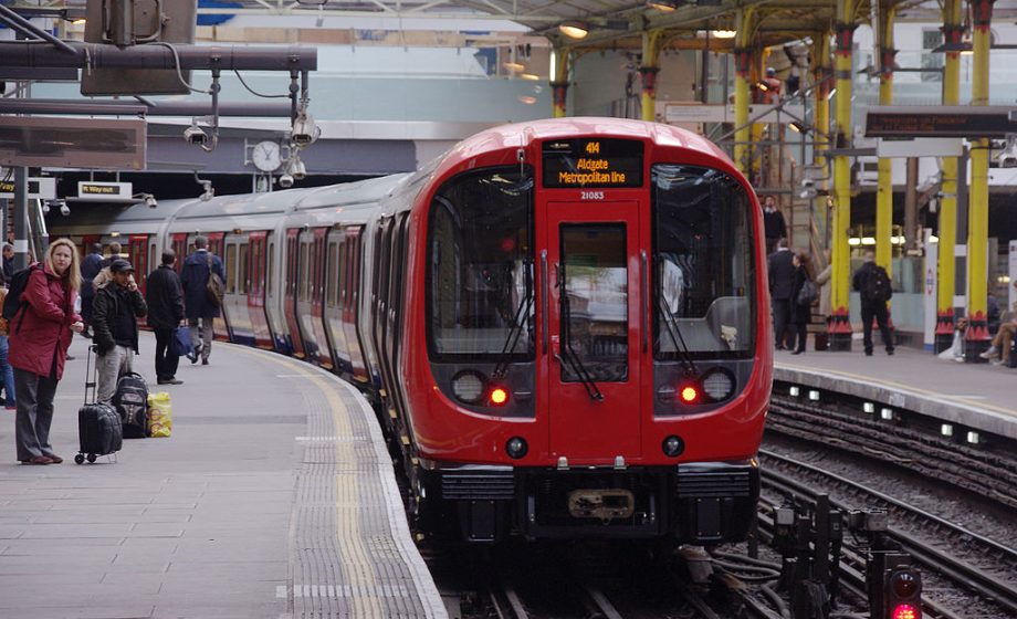
In the UK, the service will be available in 18 cities, including Birmingham, Brighton, Bristol, Cambridge, Cardiff, Coventry, Crawley, Edinburgh, Glasgow, Leeds, Liverpool, London, Newcastle, Nottingham, Oxford, Reading, Sheffield and Southampton.
A January study from the Labour Party showed that UK trains are now more crowded than ever, with overcrowded routes running at an average of 187 percent of their intended capacity, a 25 percent increase since 2011. Some major routes are on track to average 208 percent of their capacity by 2022.
The new feature could allow passengers to alleviate some of this overcrowding themselves, by opting for less busy rides when possible.
Google Maps has seen a range of new features rolled out in recent months, including a private incognito mode, a live speedometer, the ability to save the location where a car is parked, and live reporting from users on traffic jams and accidents. The company is aiming to maintain its status as a top navigation app in the face of increased competition from similar apps like Waze, as well as from related transportation apps like Uber and Lyft.
Photo: Mattbuck (category) [CC BY-SA 2.0 (https://creativecommons.org/licenses/by-sa/2.0)]